
In my mind, Nevada was not much more than Las Vegas and a hot ugly desert environment. Neither of which appealed to me.

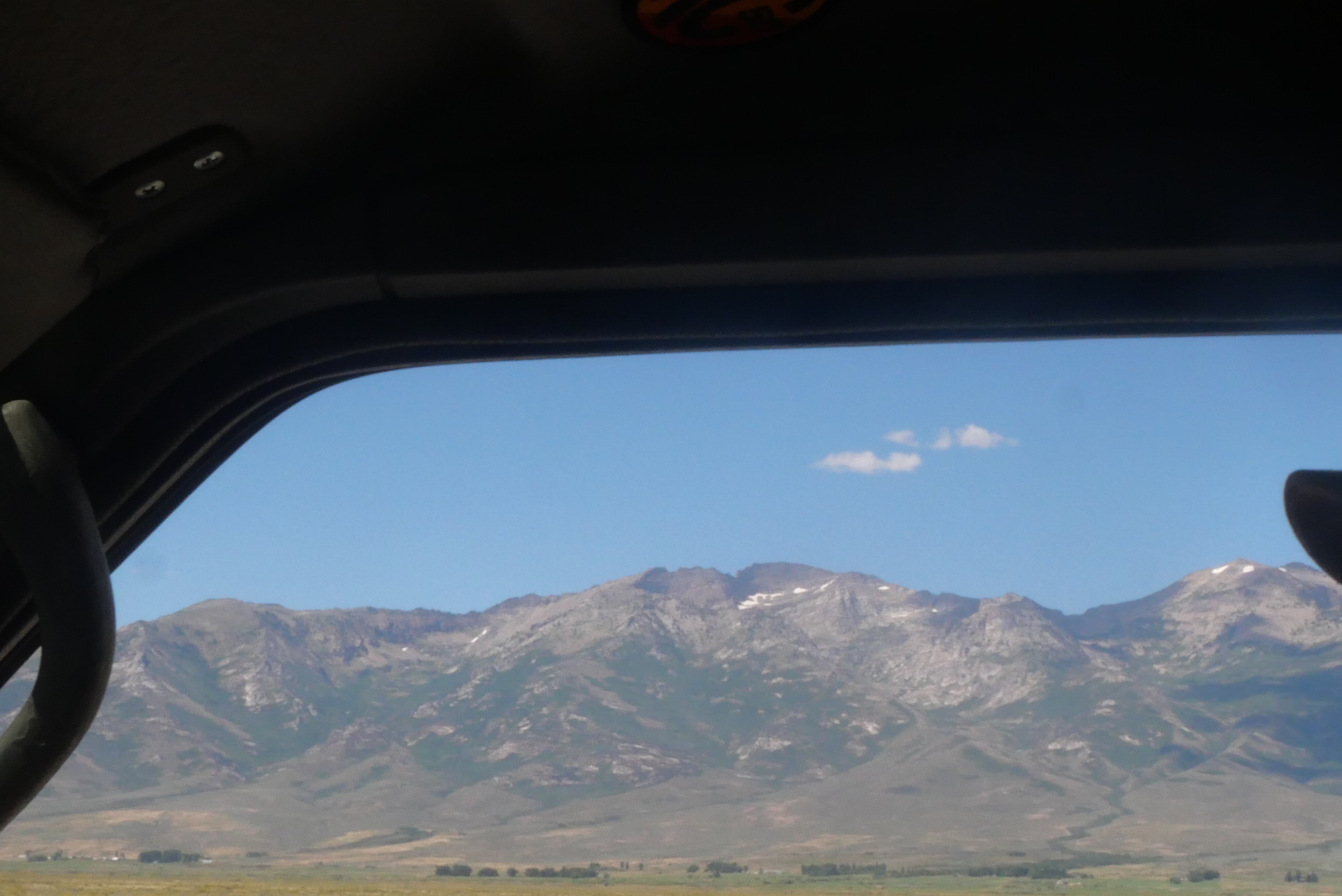
From the moment we drove into Nevada, we were met with surprises. Not that it wasn’t hot. It was August and everywhere we have been this summer has been hot. But it was so much more. There are mountains, forests, glaciers, alpine lakes, ghost towns, and funky little towns.
We arrived in Nevada from Idaho at night on a very dark highway. Our destination, since it was getting late, was a rest area. But first, we were greeted by the neon lights and casinos of Jackpot, NV, rising out of the darkness. You can’t get away from casinos in Nevada, even seemingly in the middle of nowhere.
We arrived at the rest area, where one other overland vehicle was already parked. It was not like other rest areas, which made it more peaceful. Except for the graffiti, it was pretty scenic.
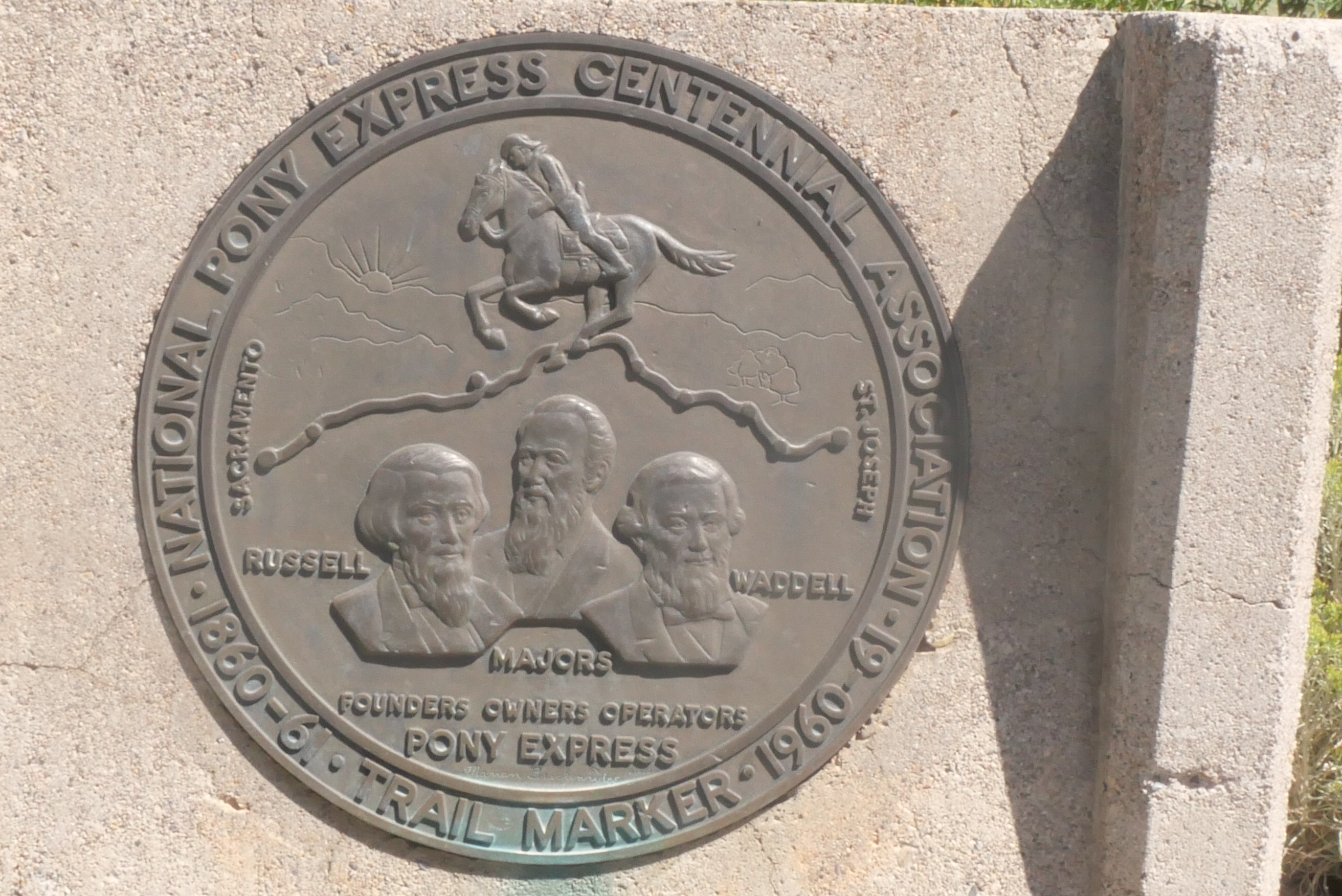
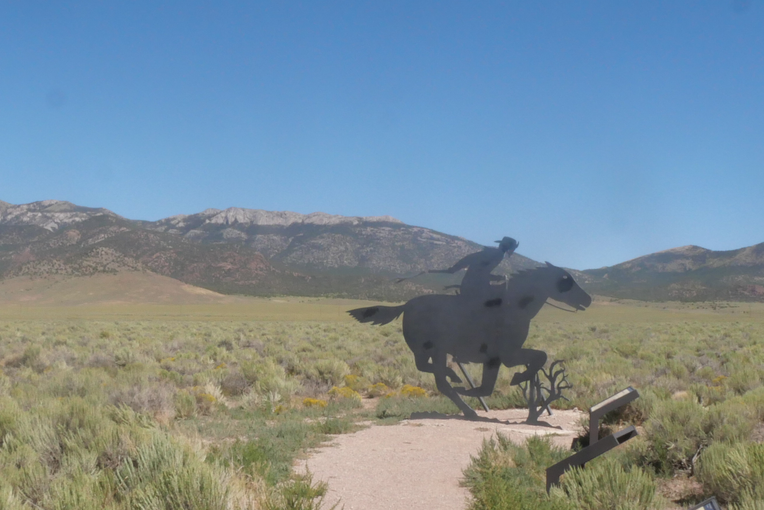
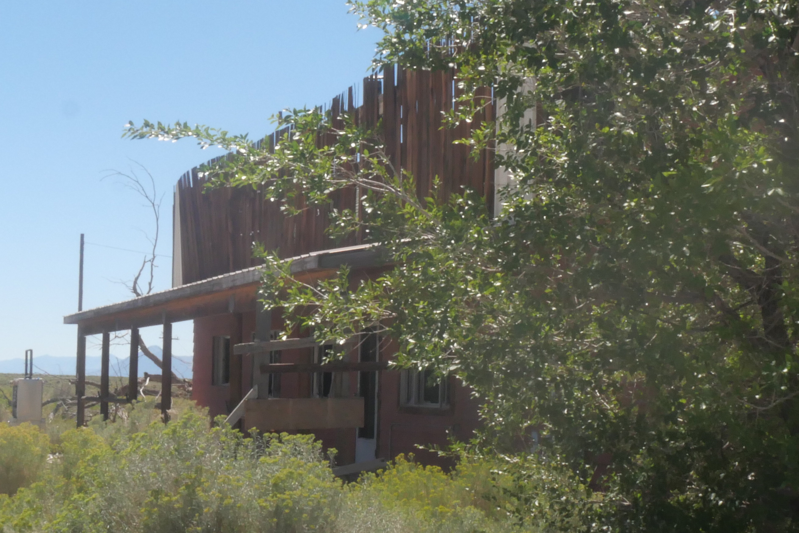
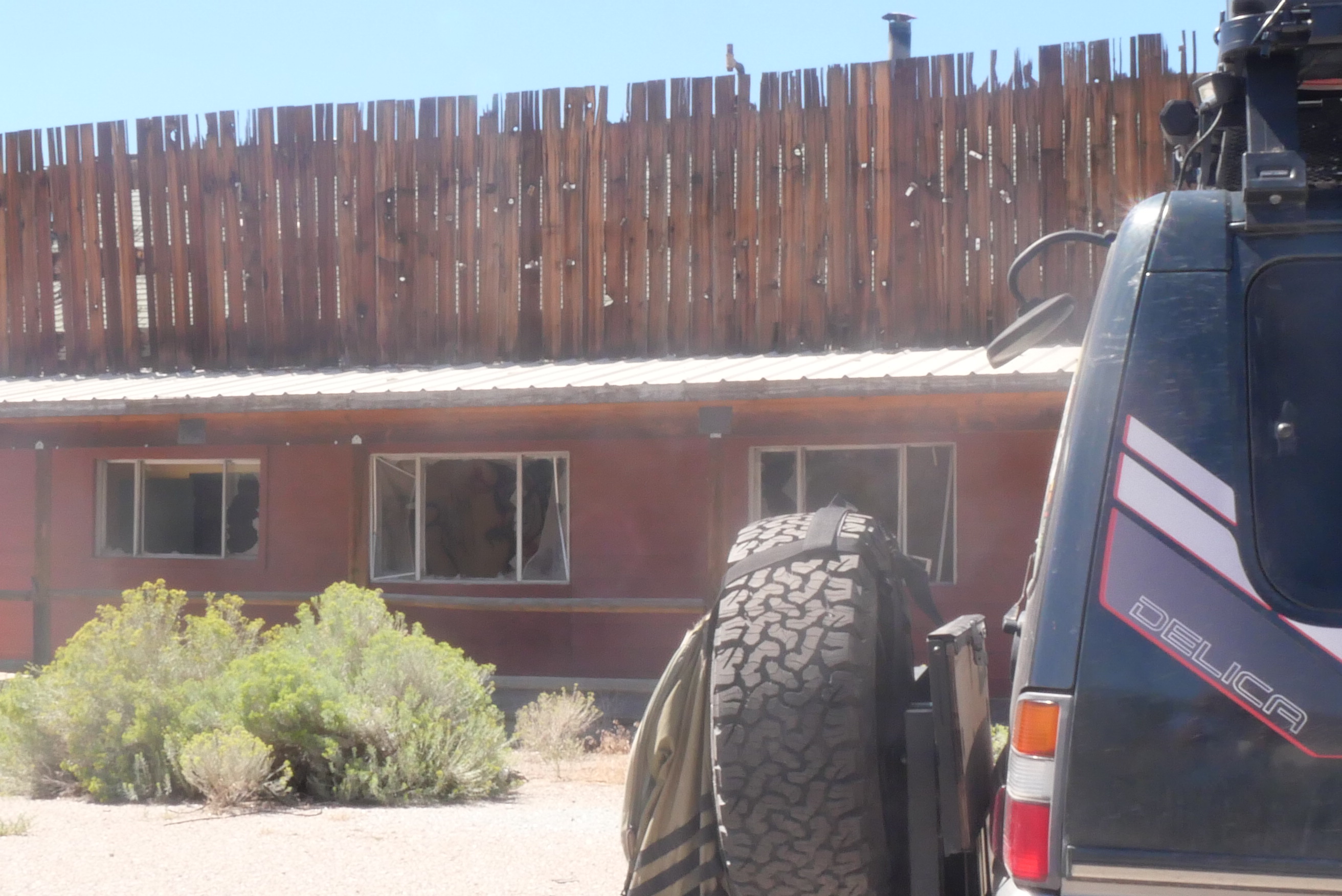
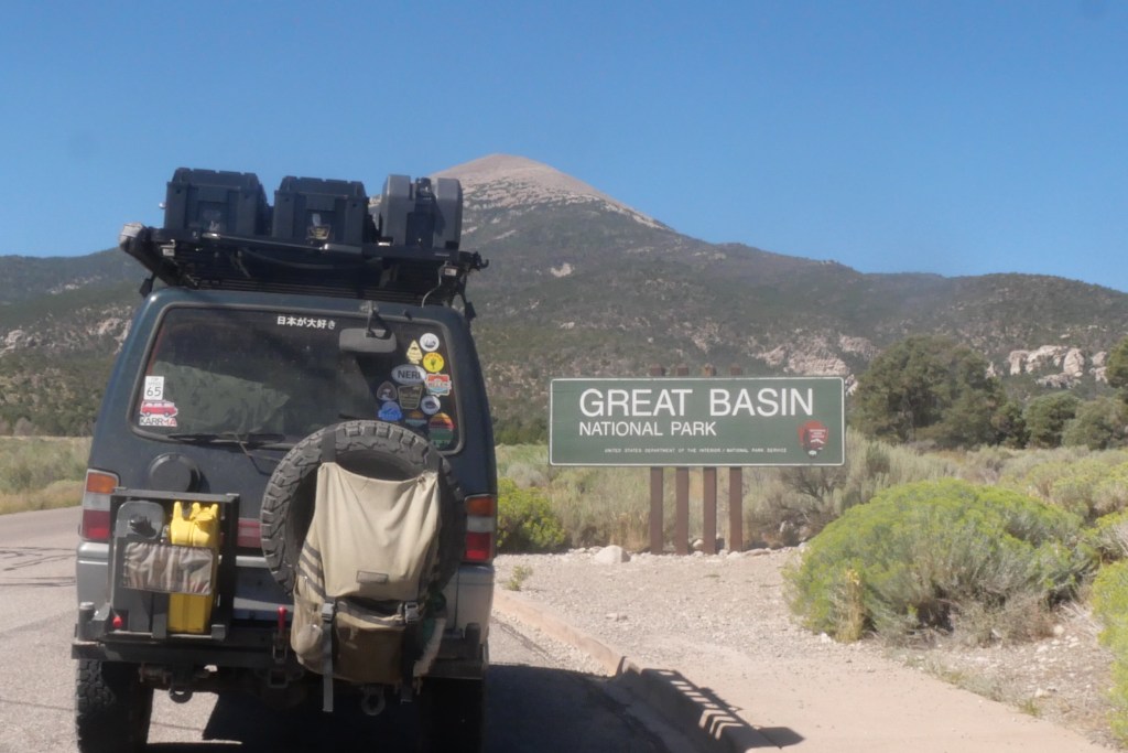
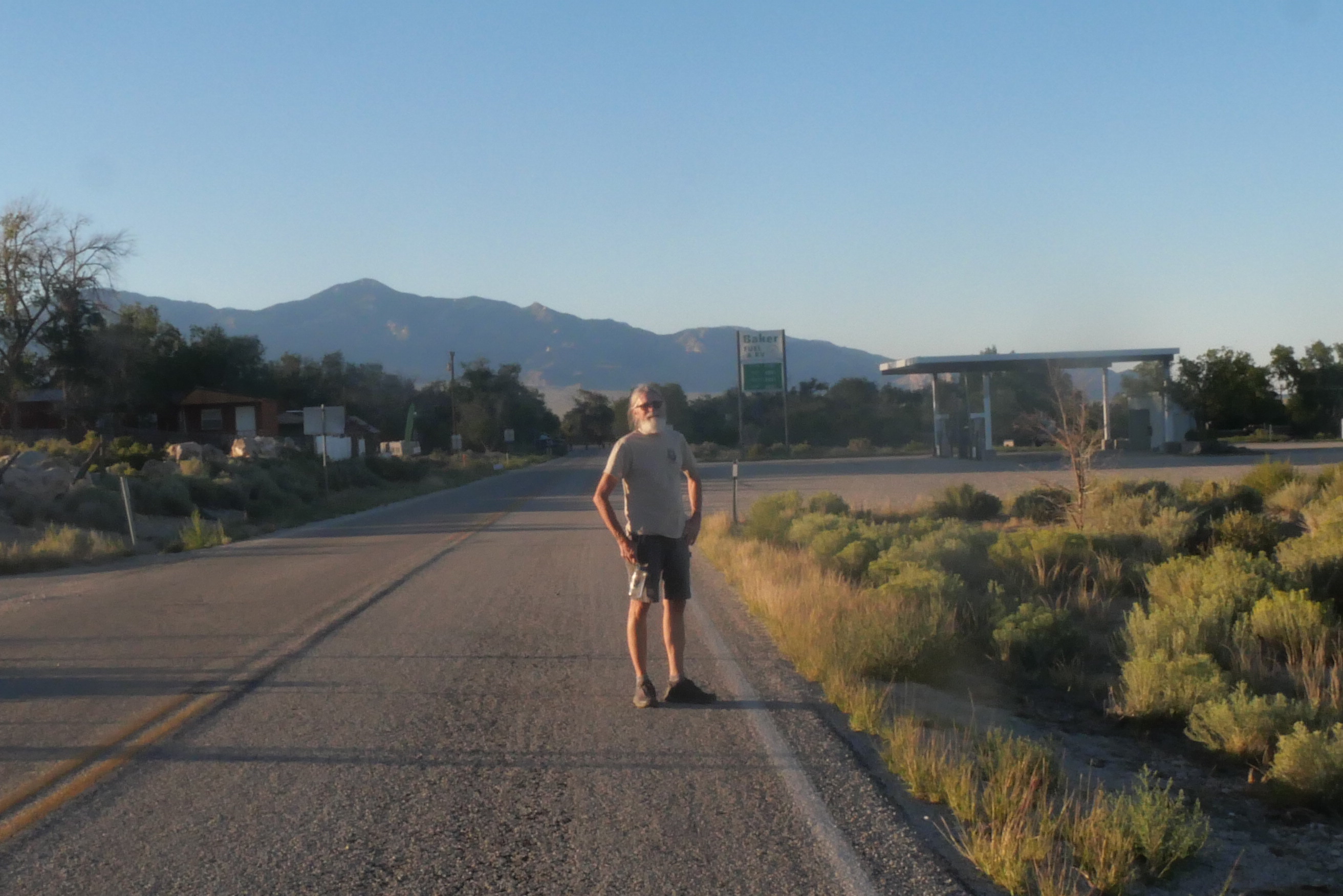
Our destination was Great Basin National Park on the border with Utah, the only national park in Nevada. As we drove towards it, we came across an old store/gas station/bar/motel that was for sale across from a rest area on the Pony Express trail.
Nevada is mostly vast areas of public land. We had a long day of driving, so we decided to spend the night in Ely, the largest town between Jackpot and Great Basin National Park.
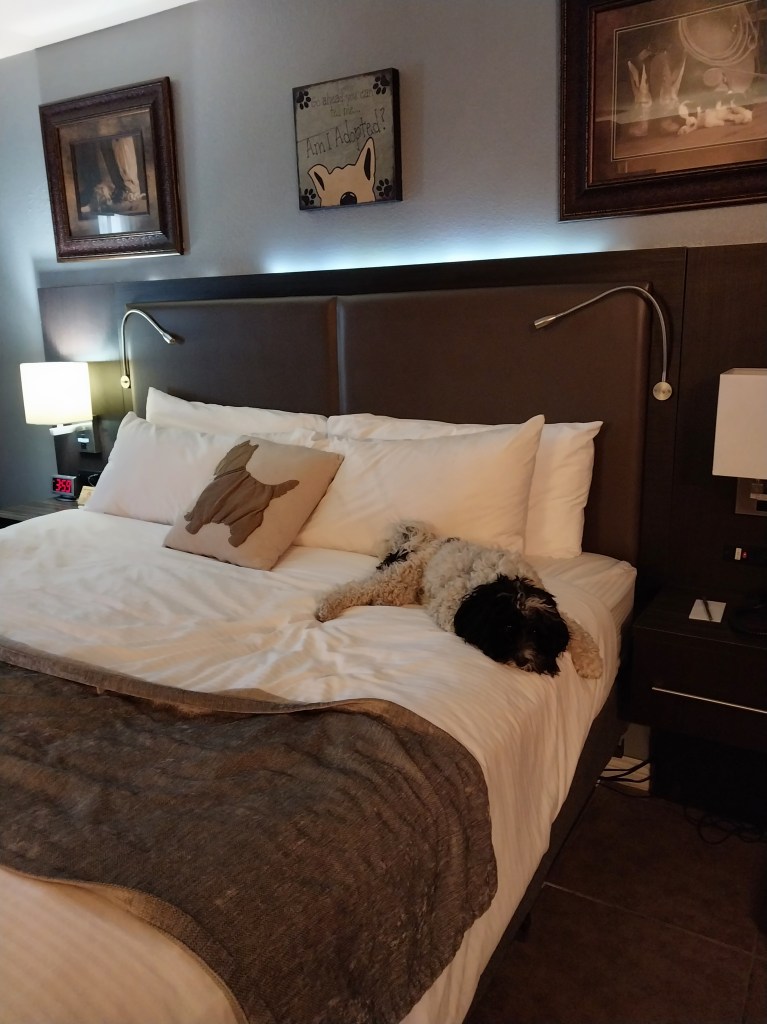
Poppy was relieved to be back in a hotel with a big bed and air conditioning. This very dog-friendly hotel provides a dog bed (haha), a dog bowl, and dog cookies in the room. They even allowed us to take her into the casino while we played some slots. Neither of us are gamblers, but we decided to try our hand at losing money quickly.
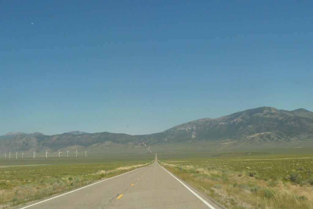
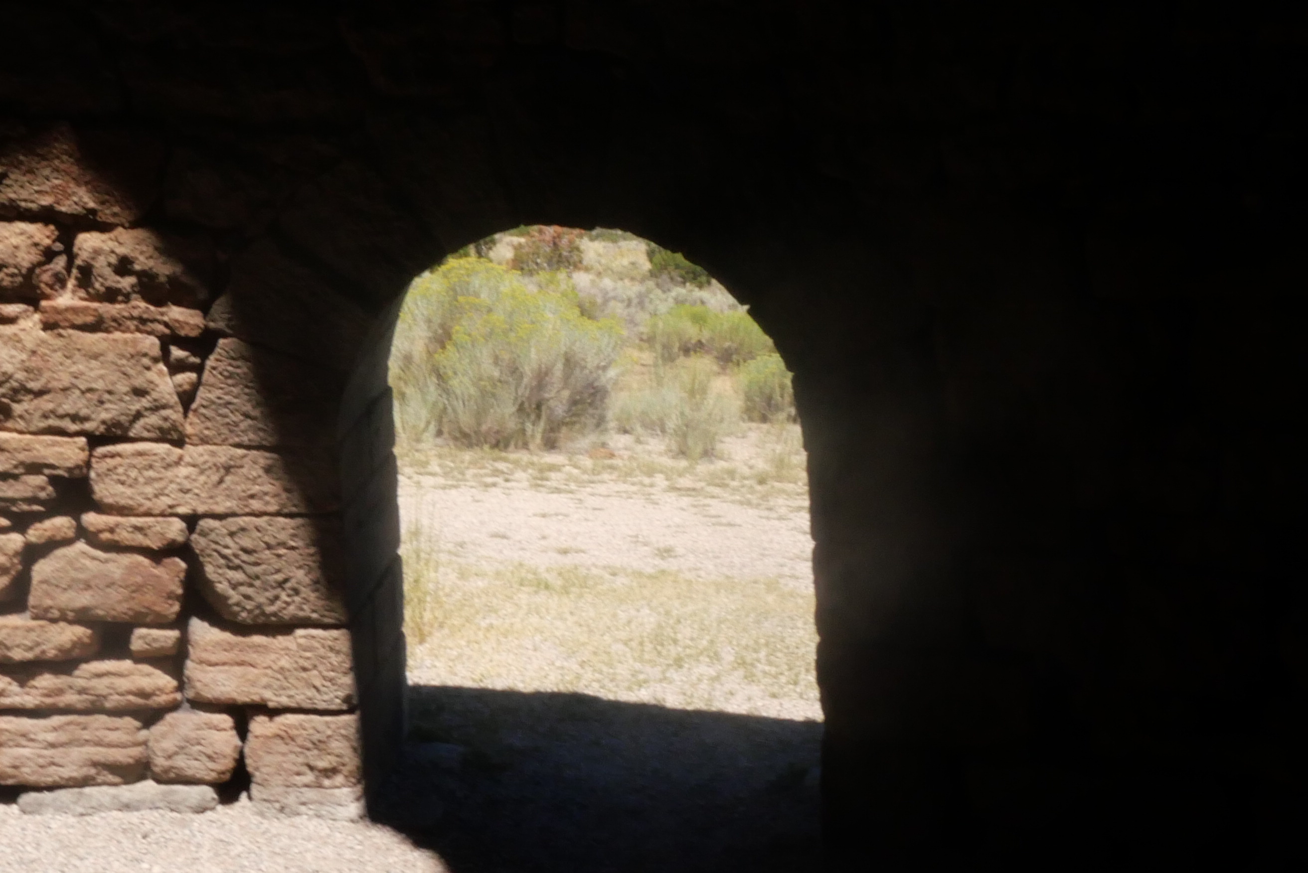
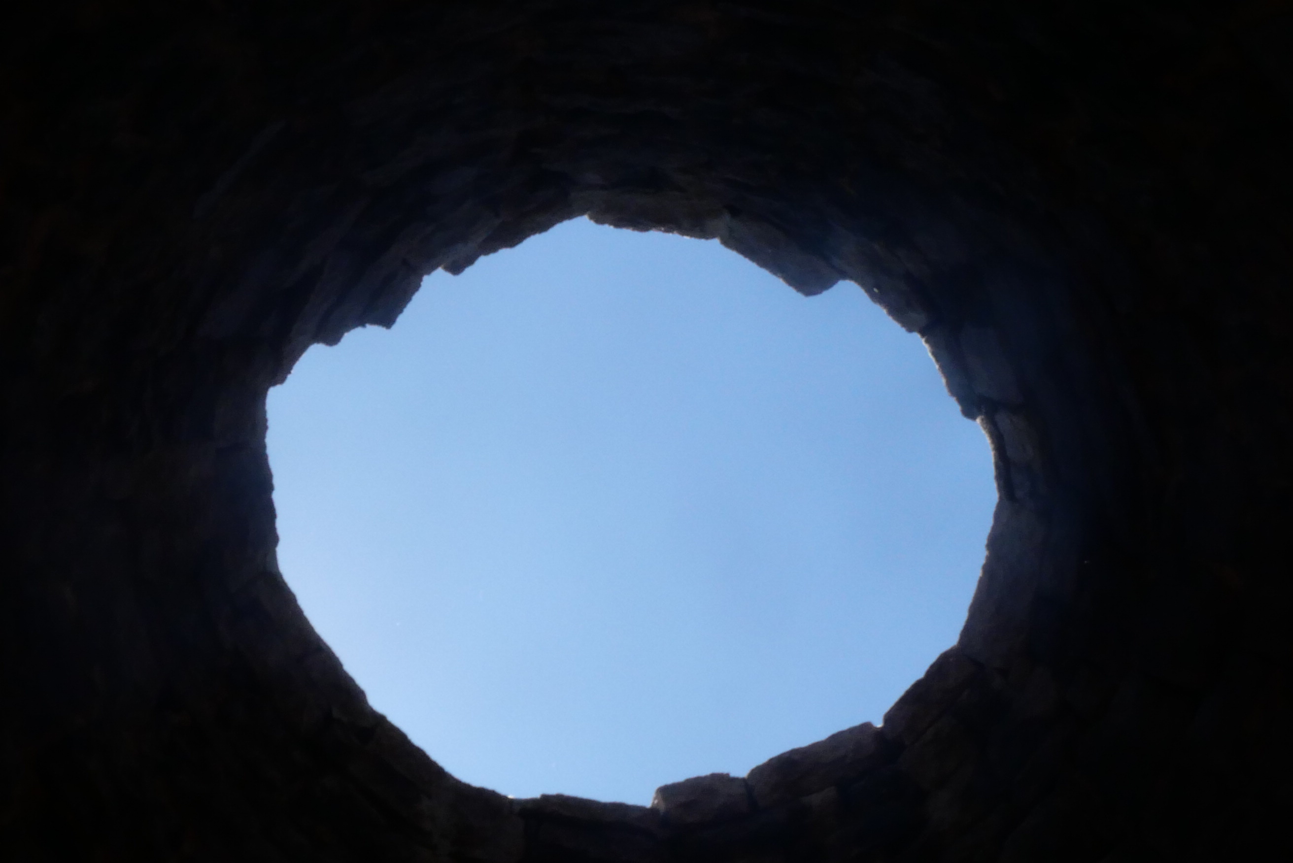
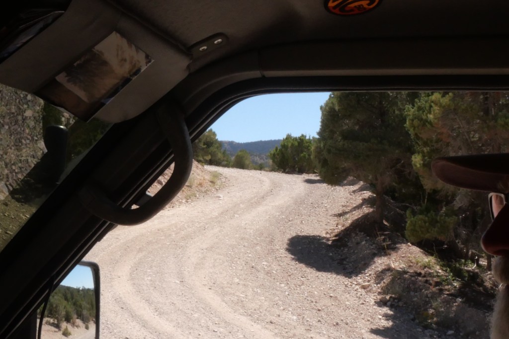
As we drove towards Great Basin National Park on the 50, the Loneliest Road in America, we saw a sign for the Ward Charcoal Ovens. Historic State Park. We watched a travel video the year before about these ovens, so we decided to stop.

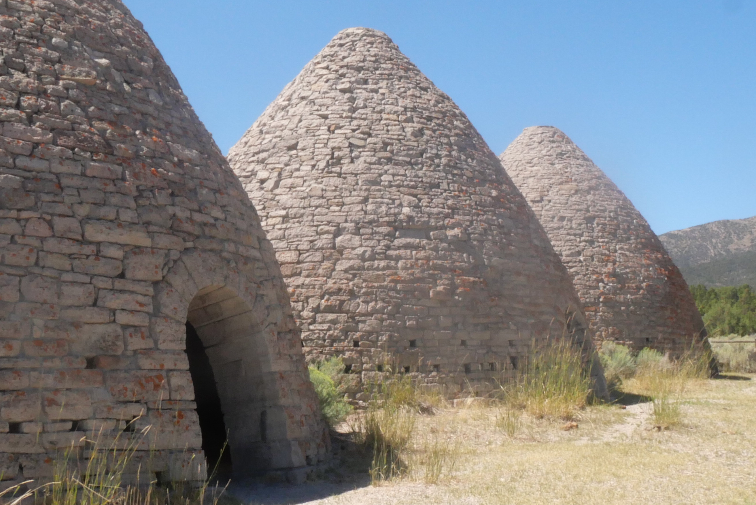
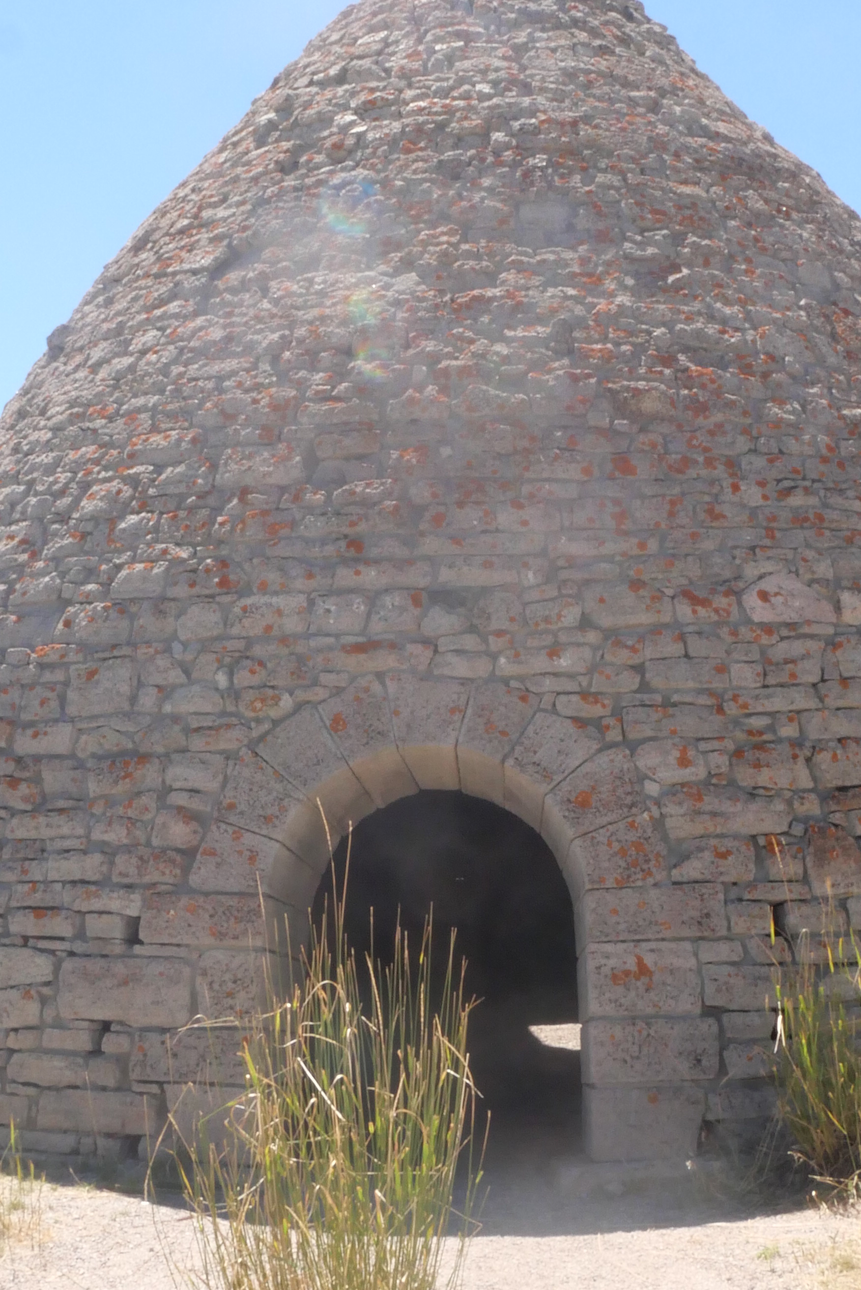
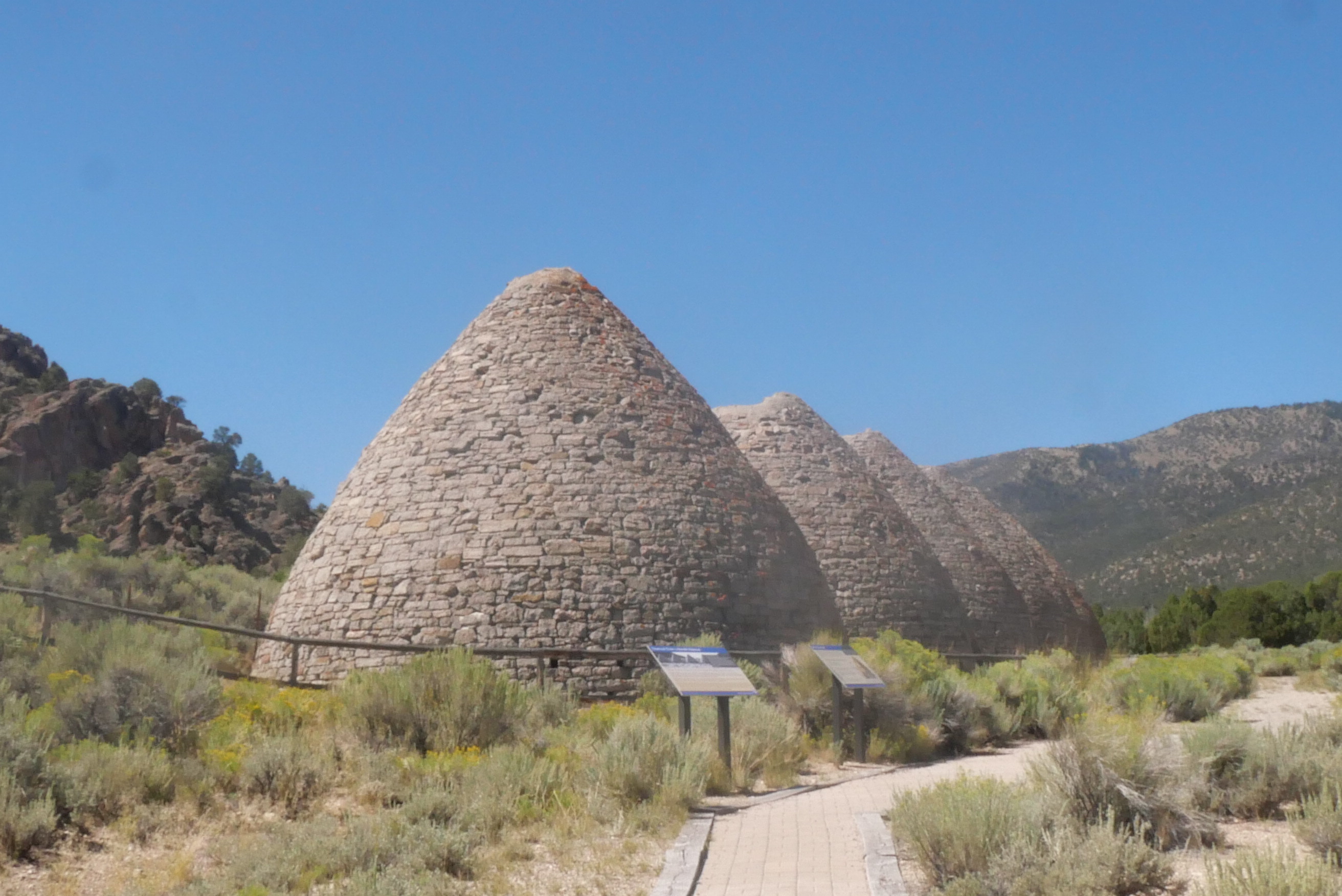
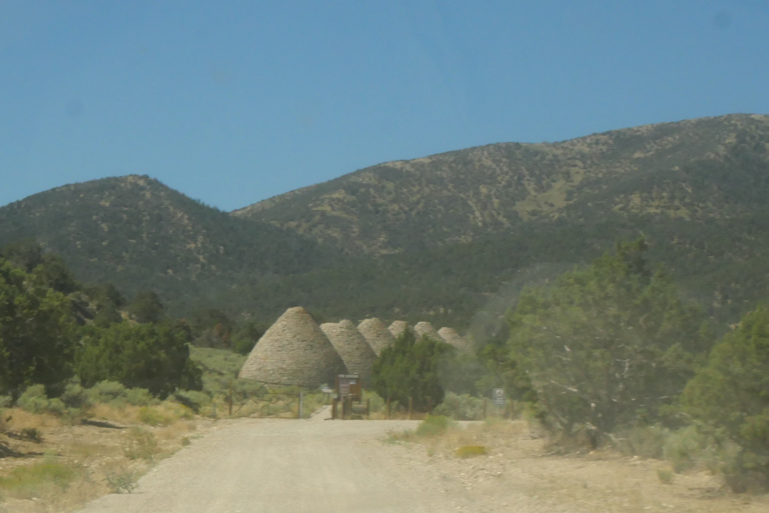
These were used from 1876-1979 to make wood charcoal for nearby silver ore smelters. Each oven took six acres of wood to fill and there are six ovens. The nearby woods were depleted and most have not come back, except in the park where some second-growth timber is growing.
I have to say they were nice and cool inside. Apparently, there is some lore that some bandits hid out there. I could definitely stay in one.
One of the great things about what we’re doing is that we have no set schedule or agenda. We visited the Great Basin Visitor Center, but since there was no cell reception anywhere nearby, we couldn’t find out if there were any available campsites available. (On a side note: the area of Nevada we had been driving through is called the Great Basin because all of the water there never flows outside of the basin.)

We drove back to the very small town of Baker because we knew there was one room available at the inn, and they had wifi.
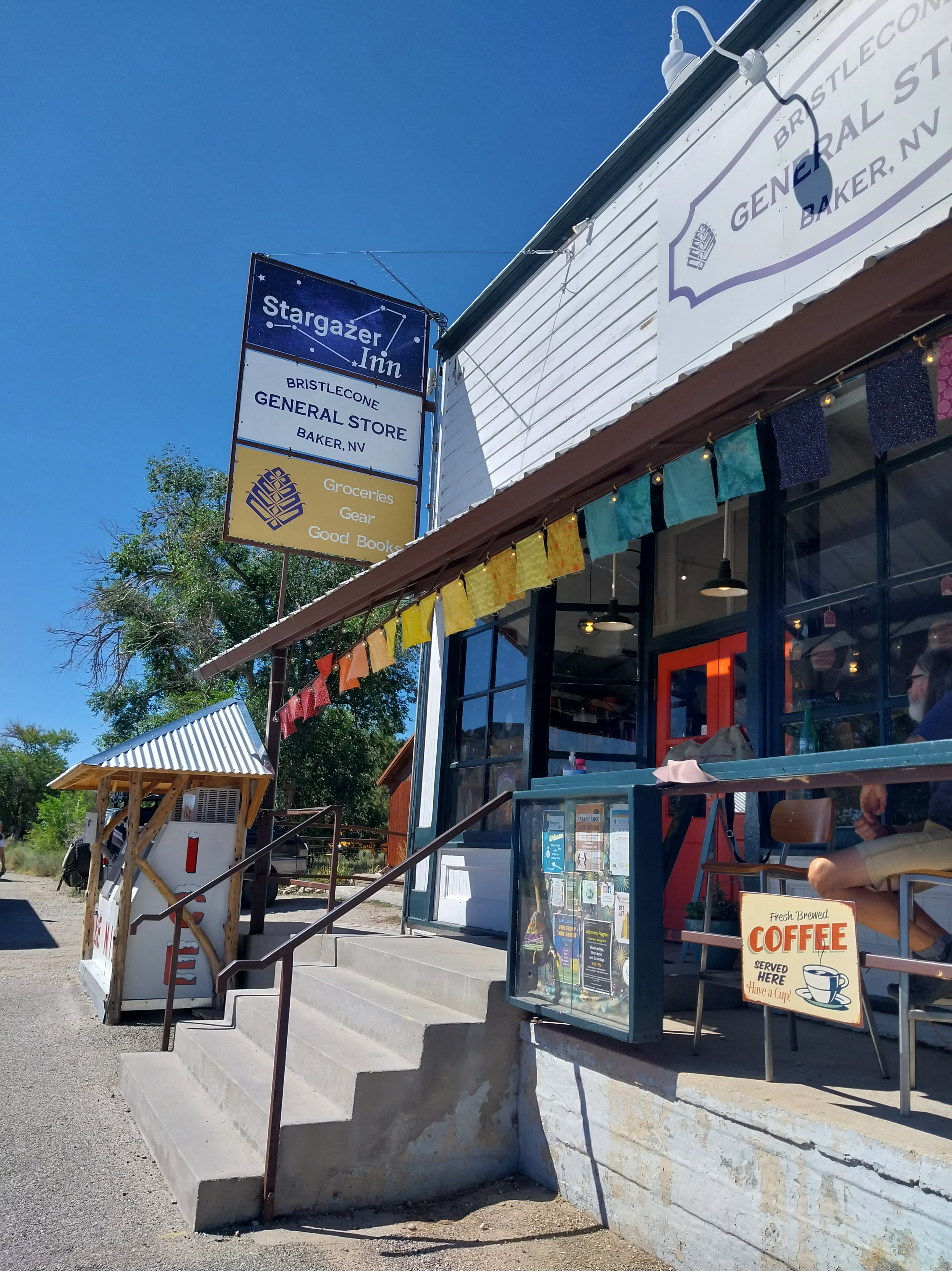
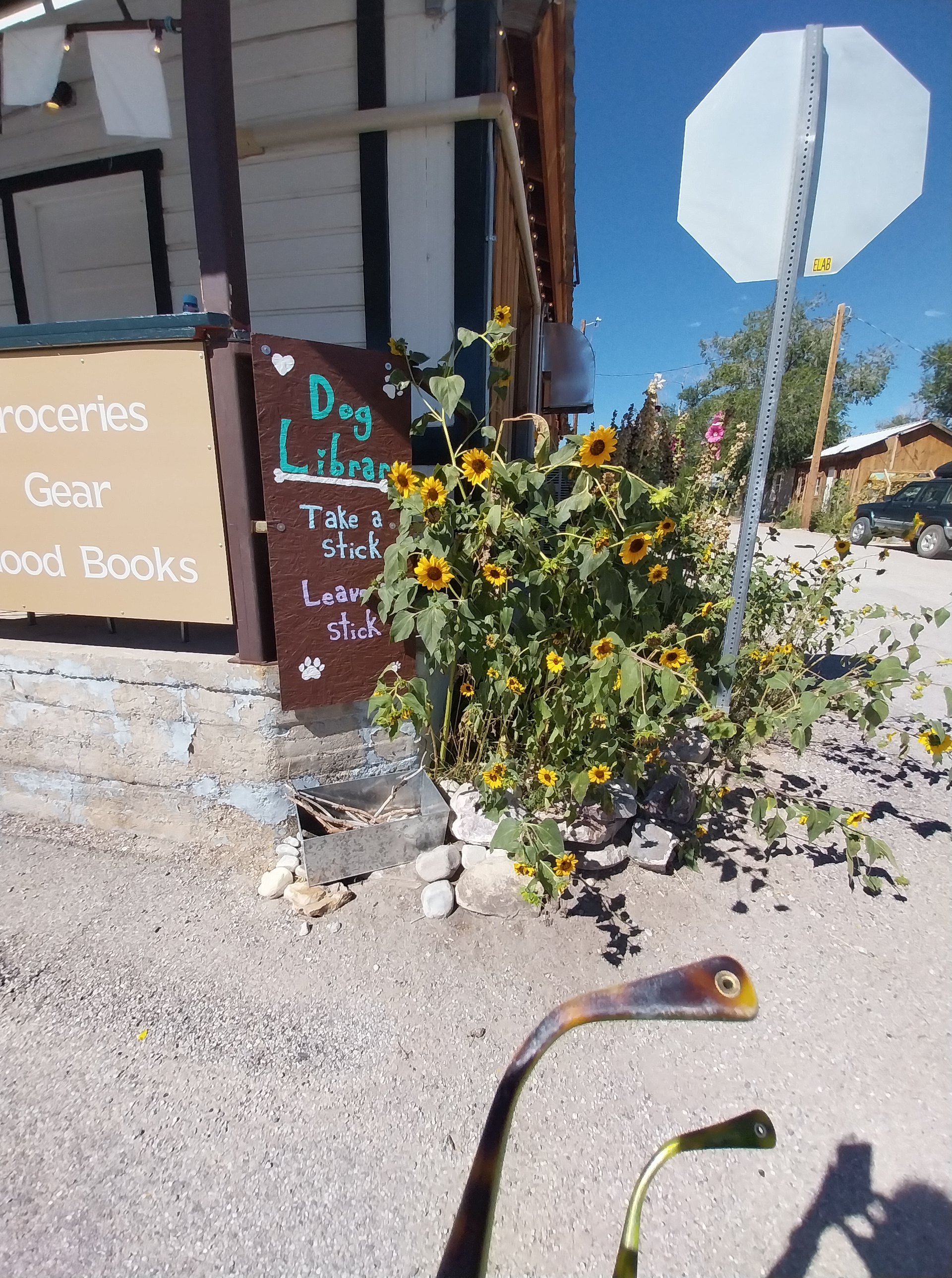
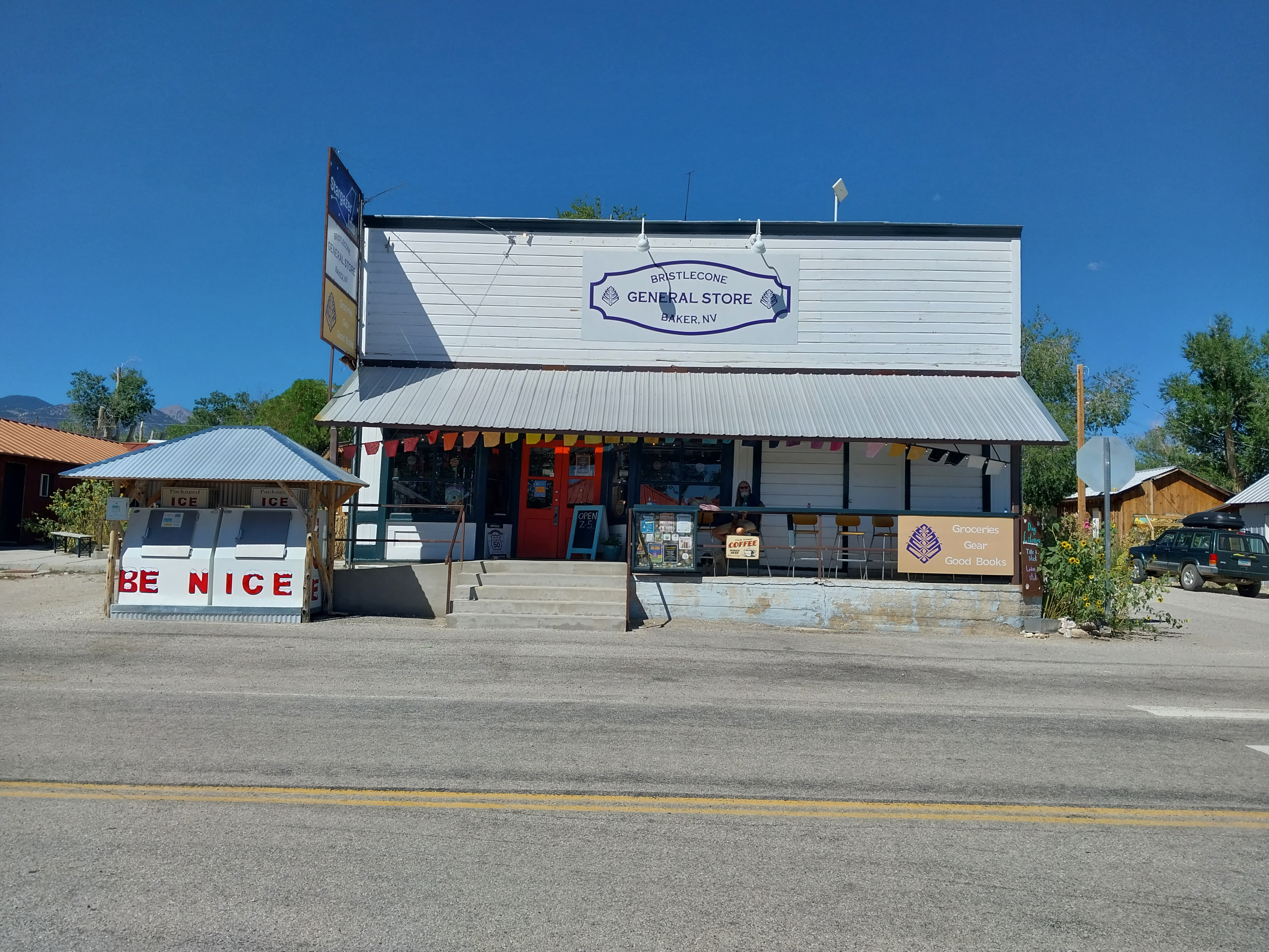
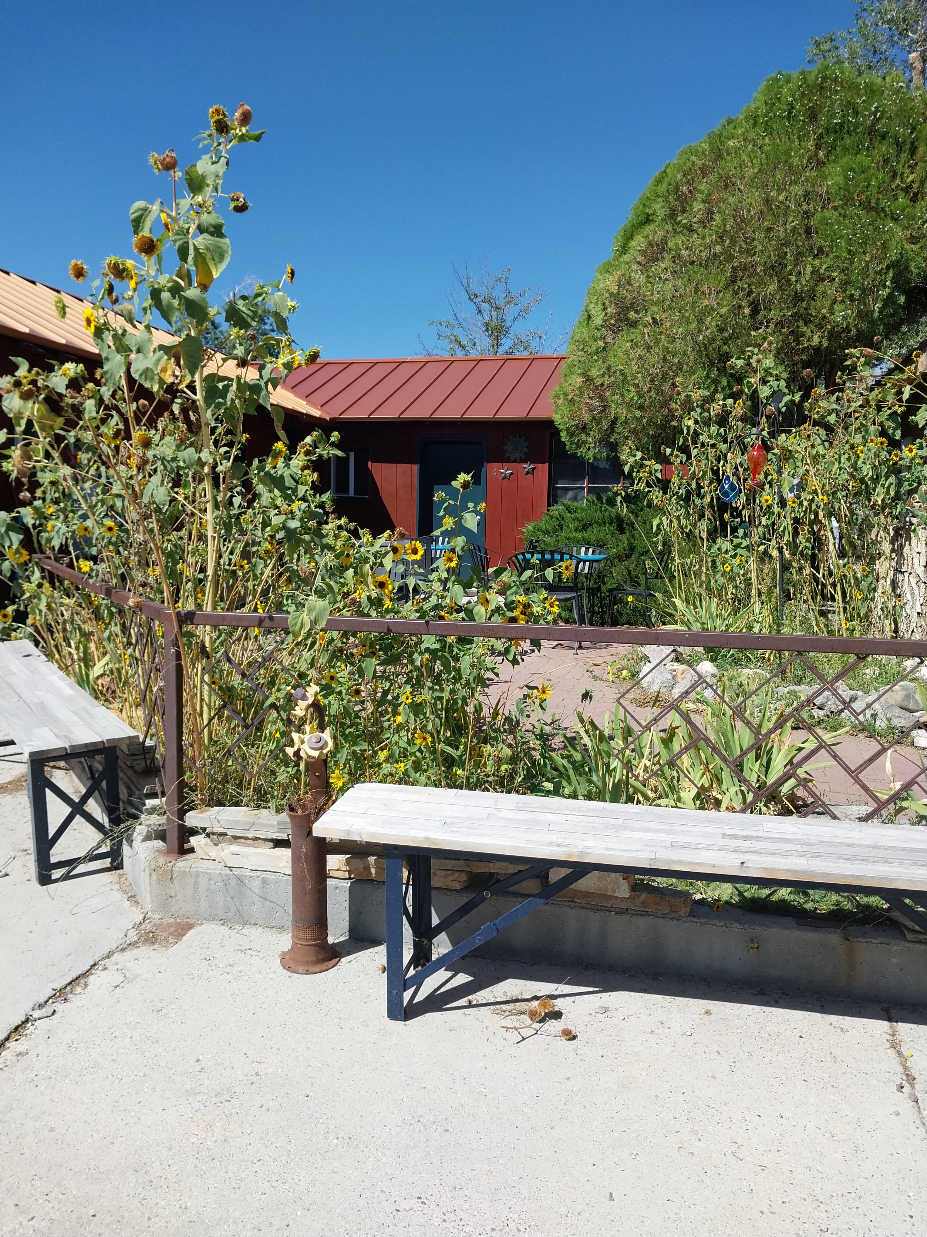
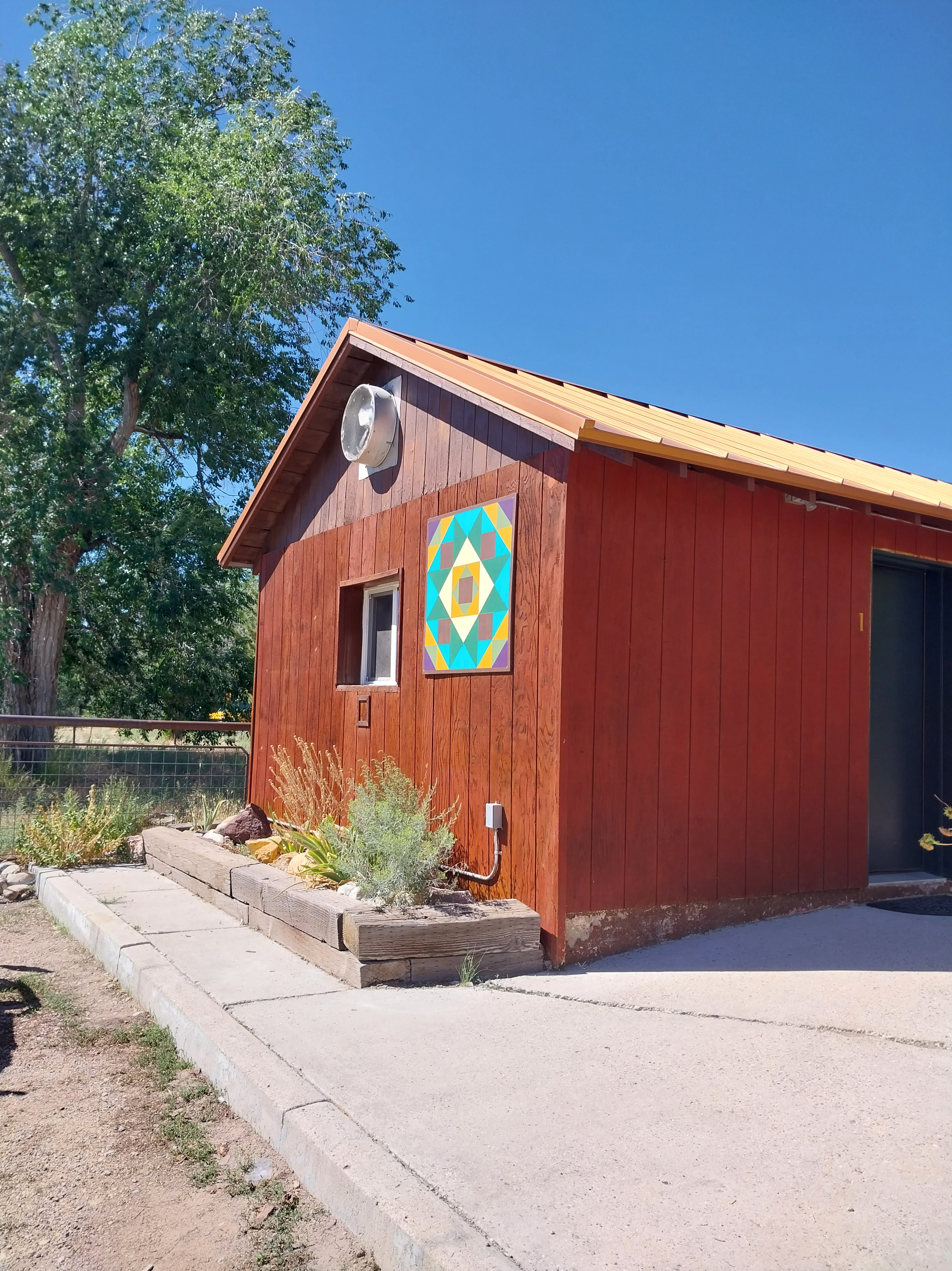
The inn was cute and so was the attached general store. There was a front and back courtyard to enjoy. The street was so devoid of traffic that we could walk right down it without worry. The next closest town was in Utah.
In fact, the main street through town had so little traffic that they were having a dance class right in front of the general store. They invited us to join. We fell in love with Baker.
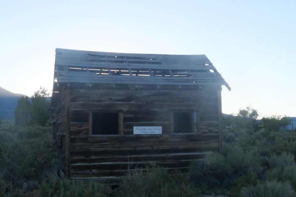
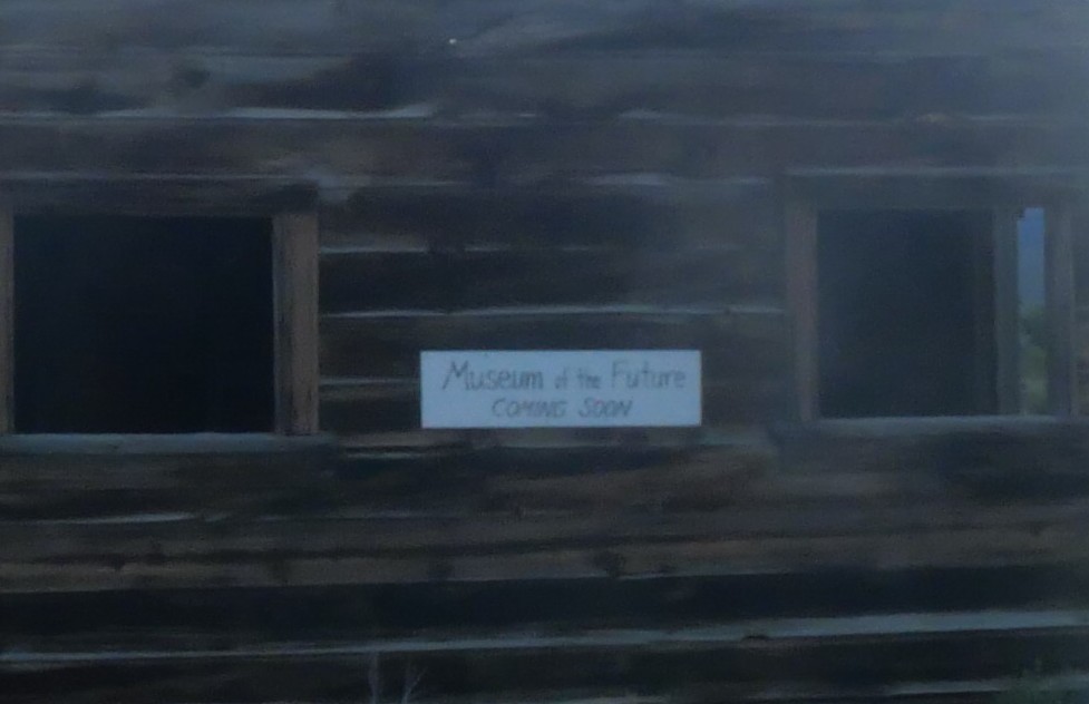
On the map of the town, it showed a Museum of the Future (Coming Soon) on it. I didn’t get it until I walked by it. This town has a lot of quirky character. As much as we wanted to stay, we needed to move on to the park because I was able to reserve a campsite at the park.
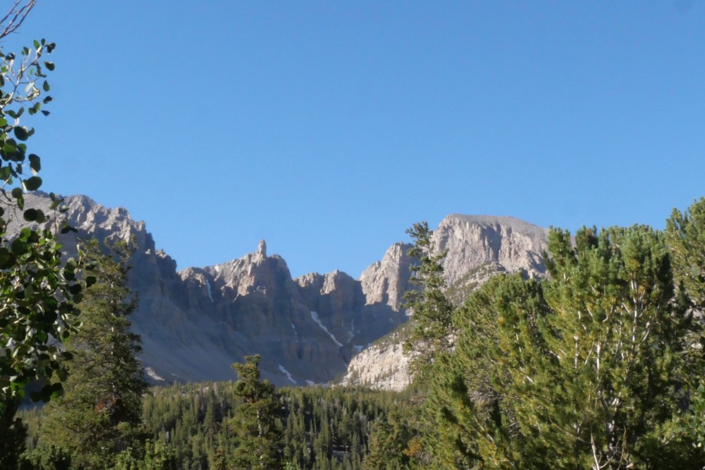
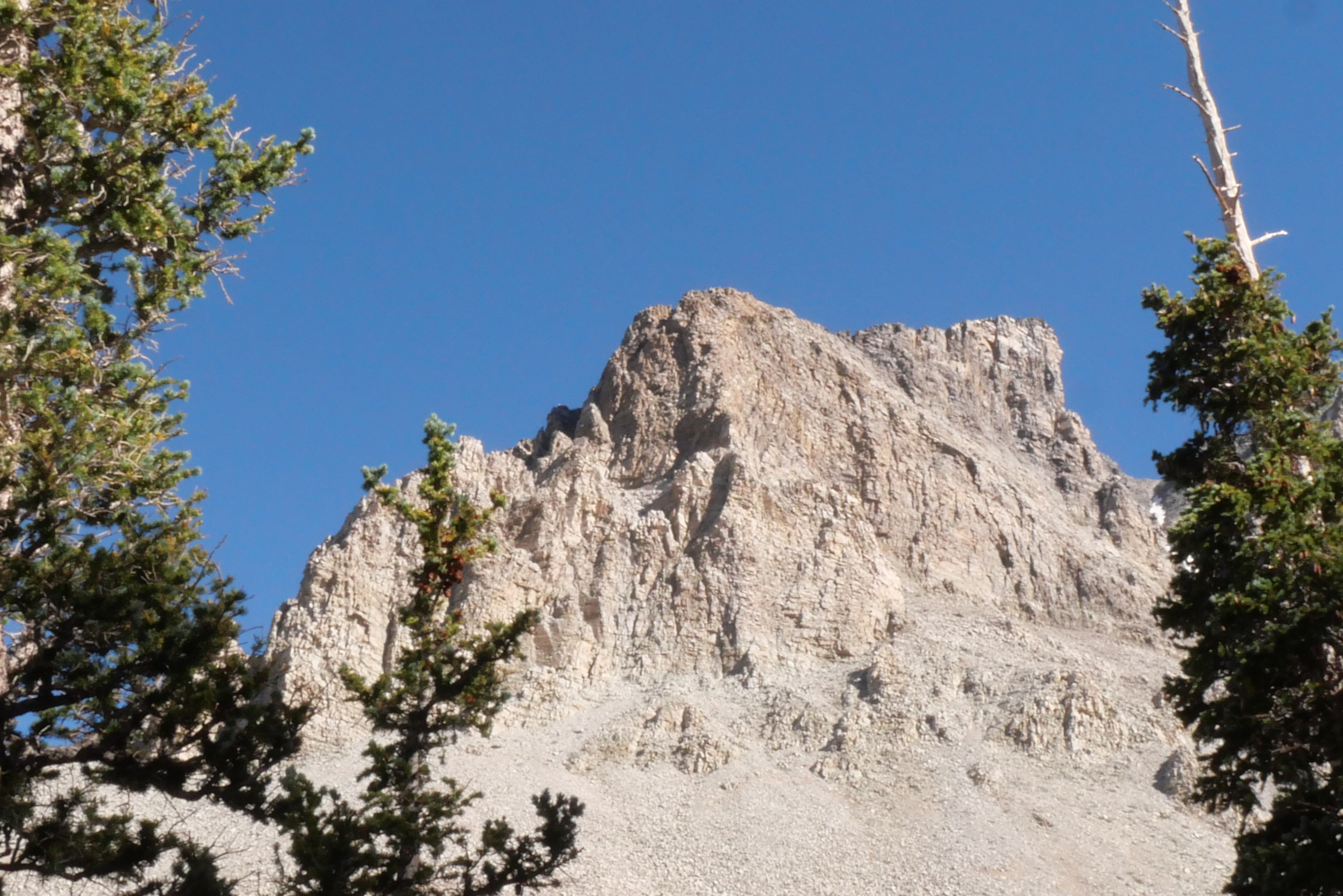
The campsite we were staying at was at the end of the 12-mile scenic route at 9800ft. The highest elevation I believe we had ever been at. The campground was called Wheeler Peak after the highest peak in the park. Where there is a glacier.
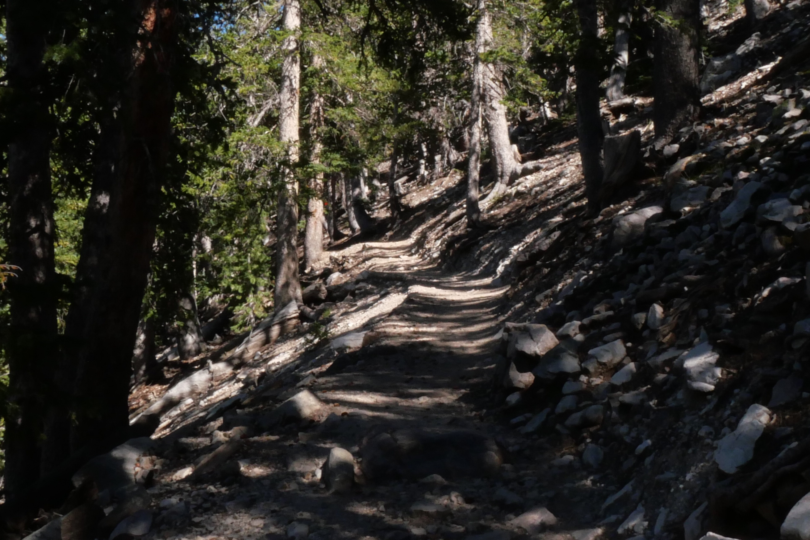
We learned that there was a trailhead at the entrance to the campground that led to three different locations: Rock Glacier, Bristlecone Interpretive Loop, and Alpine Lakes. I had never seen any of those things, but since the Bristlecone Loop trail was off of the trail to the glacier, I decided to hike those,
It was about a 5-mile round trip, and Mark graciously agreed to let me walk it that afternoon. After the 10-minute walk uphill to the trailhead, I felt winded at that altitude. I was worried that I was not going to make it to the glacier, but I went on anyway,


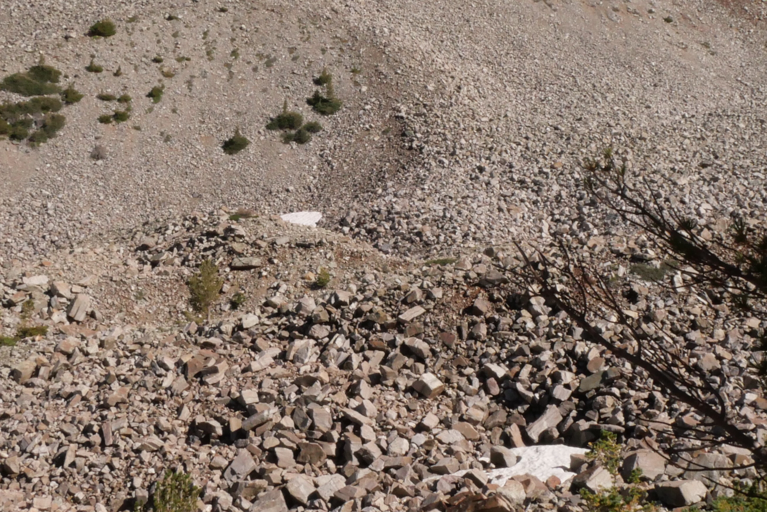


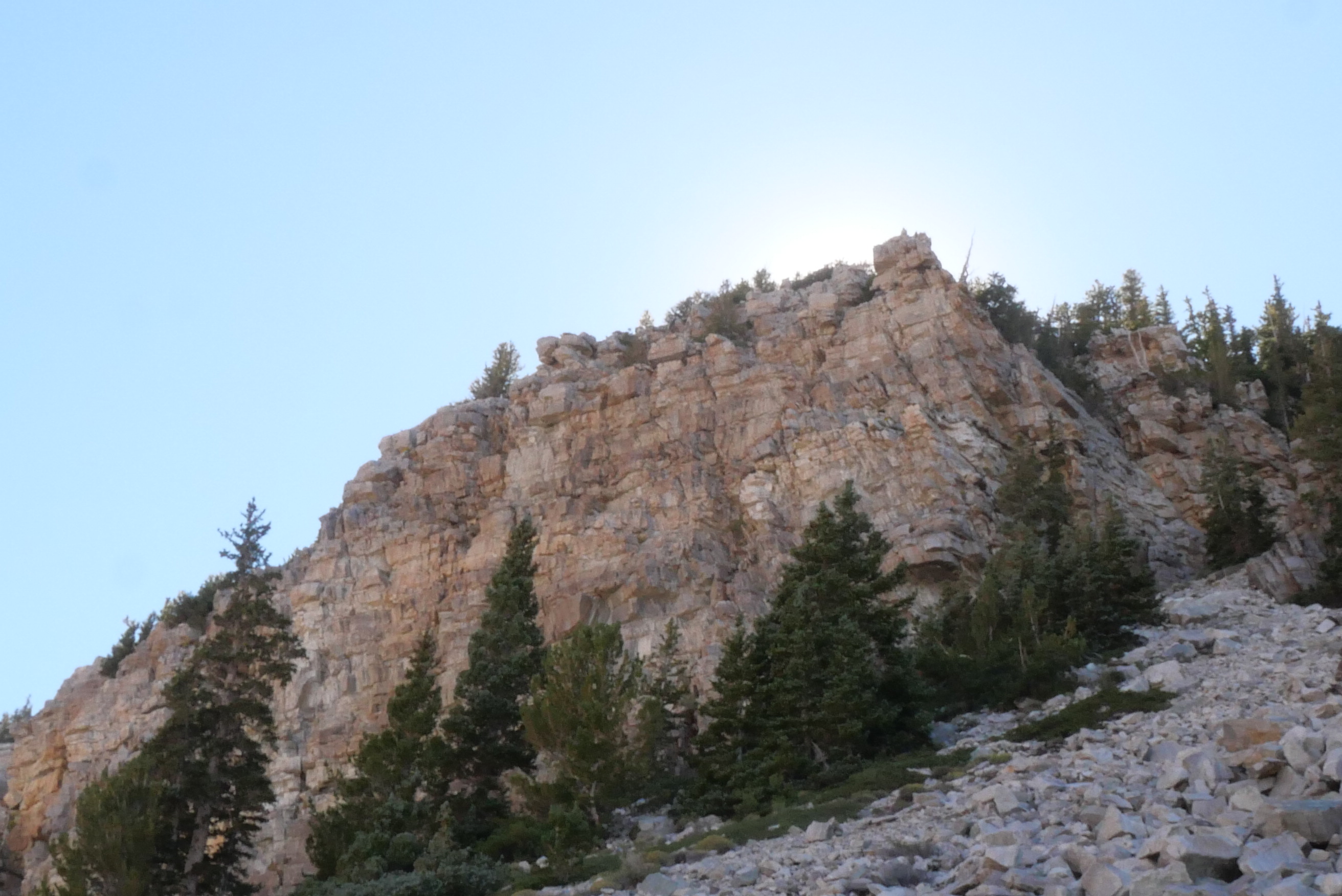

Views from the Rock Glacier Trail
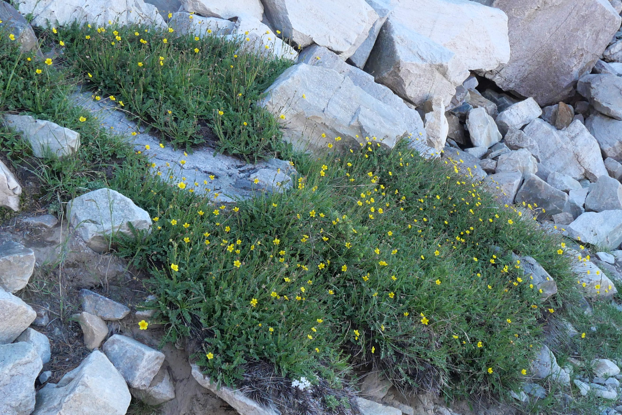
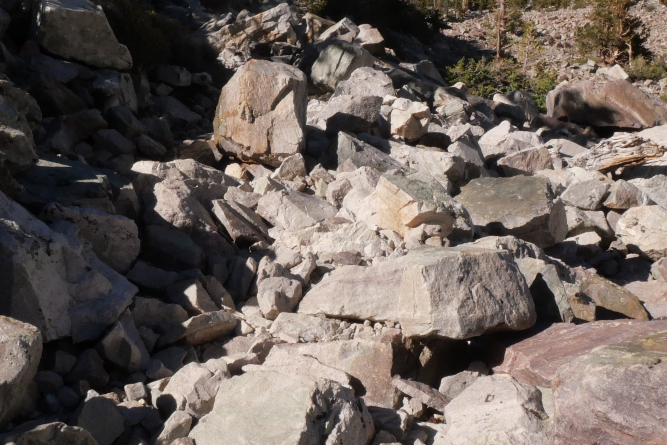
Most of the way was pretty easy until I got closer to the top, and then there were large rocks and boulders blocking the path at times. It was a twisted ankle waiting to happen, but I managed to get to the top unscathed.
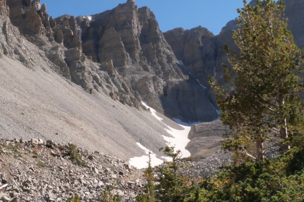
And then I reached the glacier. Not what I thought a glacier would look like. In my mind, I also expected that I would come to a barrier of some sort with the glacier just within arm’s length. I can be quite delusional. It was still to see my first glacier, and hiked up 1200 ft to do it. Frankly, I was surprised there was even ice up there because it was a lot warmer than I anticipated at that elevation (approximately 11,000 ft).
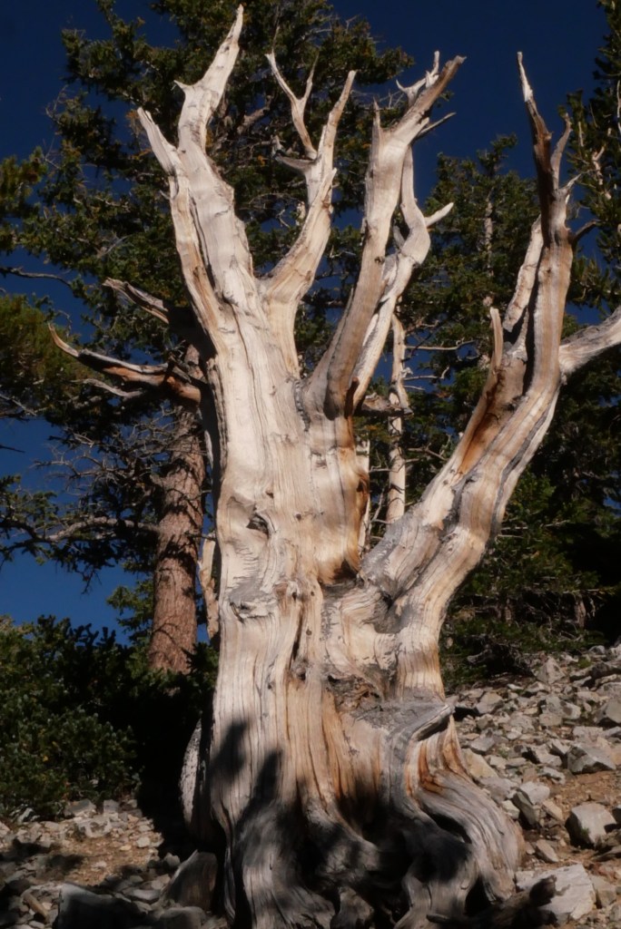
The next stop was the Bristlecone Pine Tree Loop to learn about these trees that are the oldest living beings on Earth. They can live up to 5000 years.
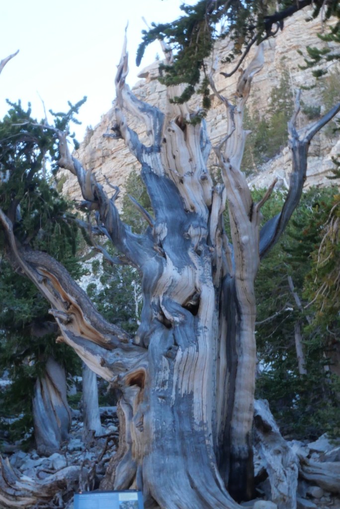
The tree above was born in 1230 BCE and is still living. There is a tree there that had been born in 1300 BCE and had two different buttresses that died 600 years apart. The second buttress died in 1700. These trees don’t rot like other trees; they erode, so you can still see an intact tree centuries after they die. These are beautiful and fascinating.
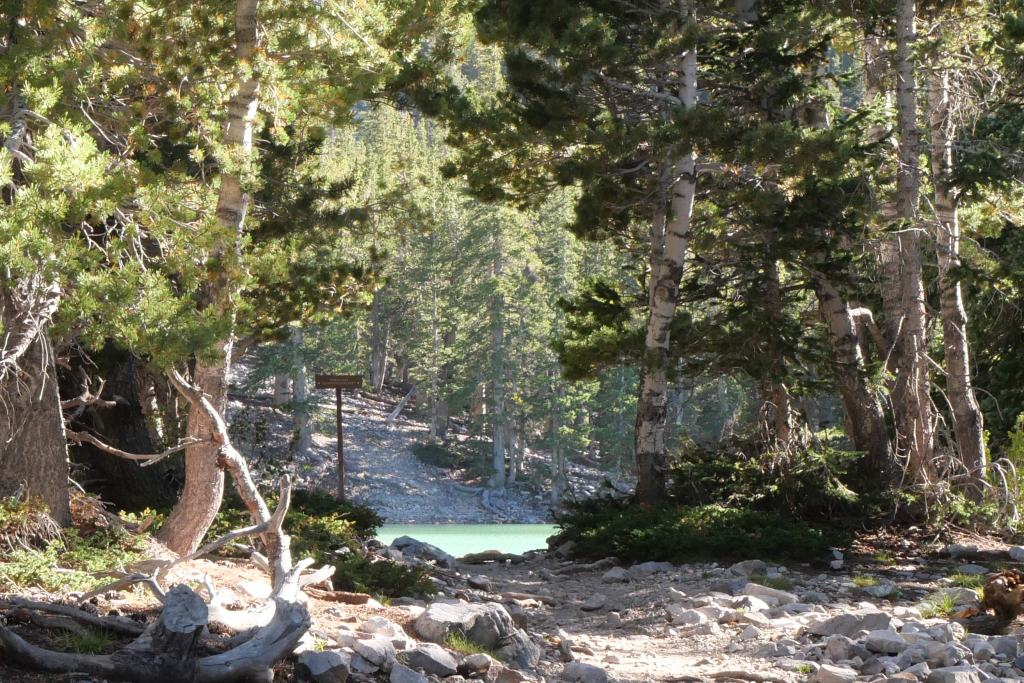
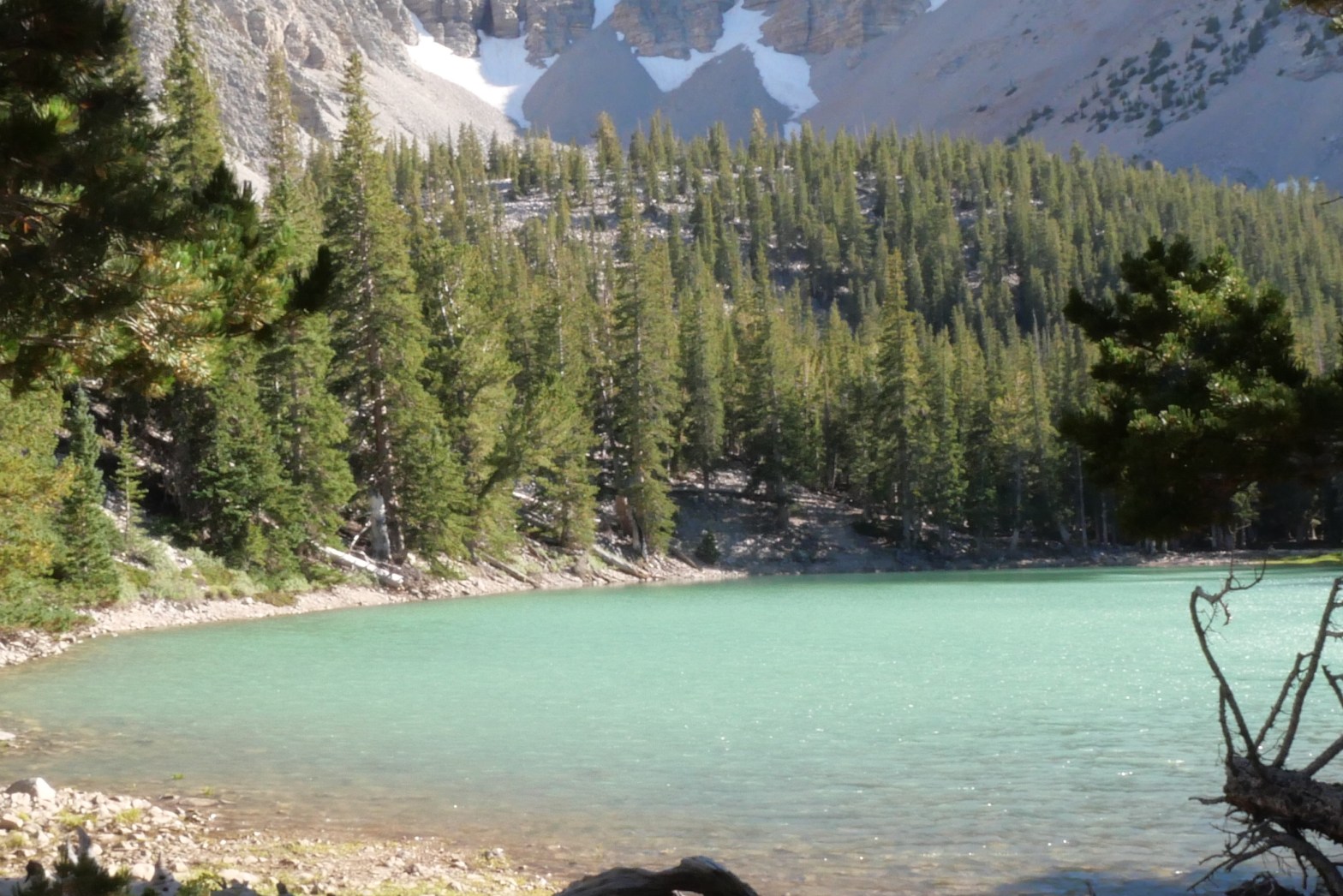
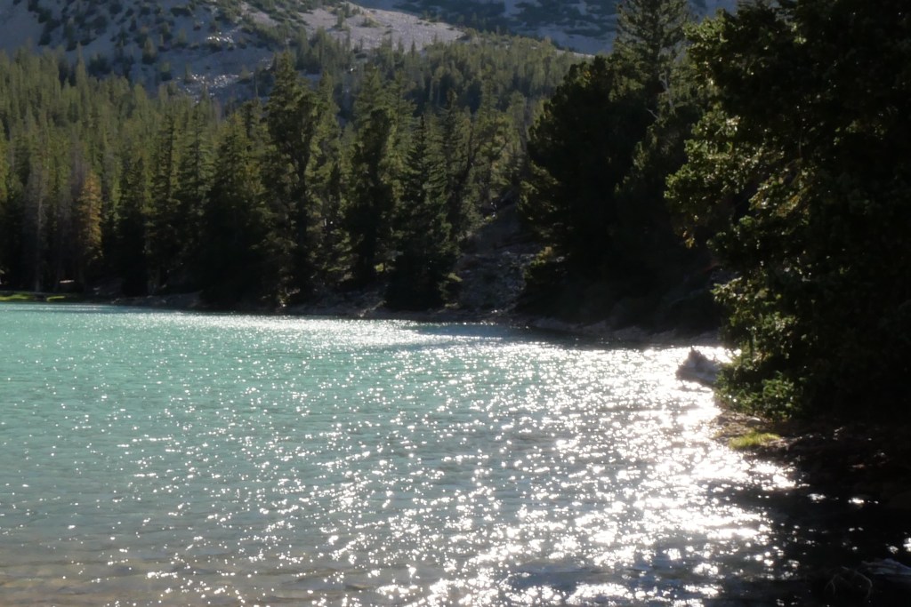
On my way back down, I walked about two minutes down the Alpine Lakes Trail to Teresa Lake (Elevation 10,230 feet. As I approached the lake I was awed by the jewel tone of the water. I had never seen a lake that beautiful. It seemed unreal. I imagined that St. Mary Lake in Glacier National Park would have been that color if it weren’t for the wildfire smoke when we were there.
The next morning before we left, the woman camping at the site across from us with her husband came over to ask about the traction boards we used for levelers. She gave us her phone number and said if we ever needed a place to boondock overnight in Nevada they had six acres. Once again, we met another cool person.
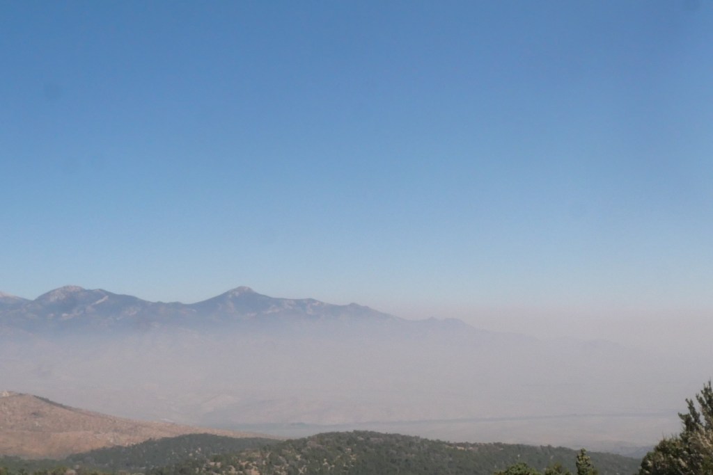
We left with Mark, never hiking any of the trails. He had to rely on my euphoric account of my adventure. On the way down from the campground, it looked like we were driving through the clouds. It turned out that it was haze from wildfires. And we thought we had escaped it all.
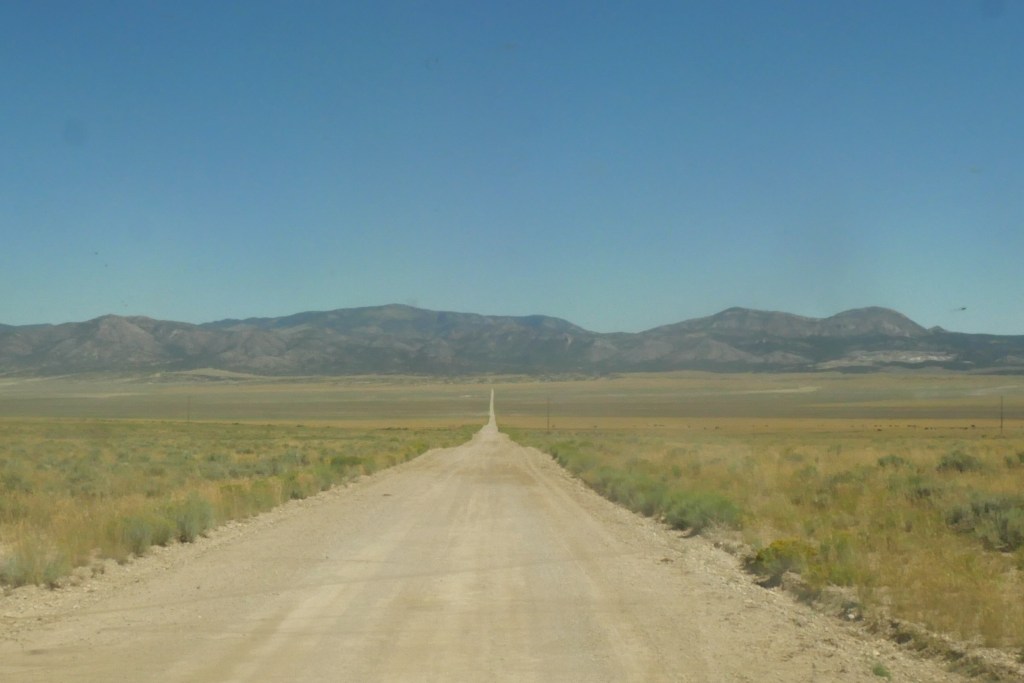
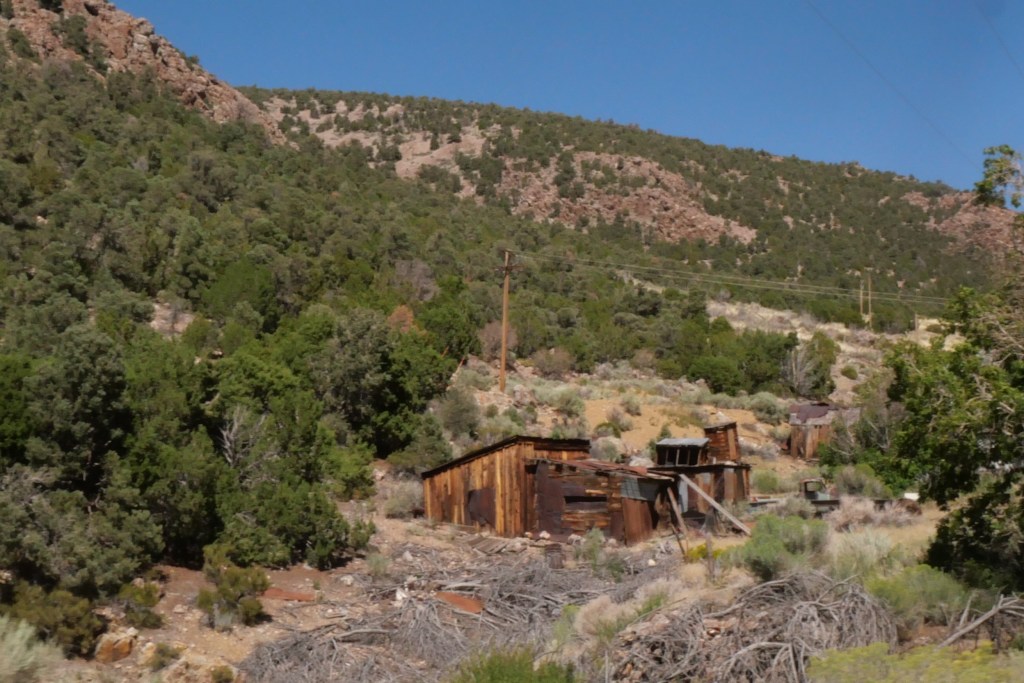
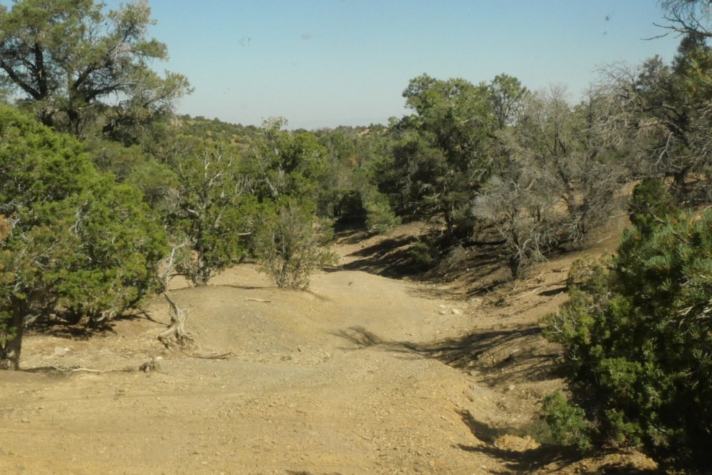
Our next stop was Sacramento Pass Campground, a free BLM (Bureau of Land Management) managed campground. We read on the information board that there were two mining ghost towns nearby: Osceola and Black Horse. Off we went in search of them. We started down the dirt road next to the campground in search of Osceola first. I remembered seeing a sign for Osceola when we drove to Baker.
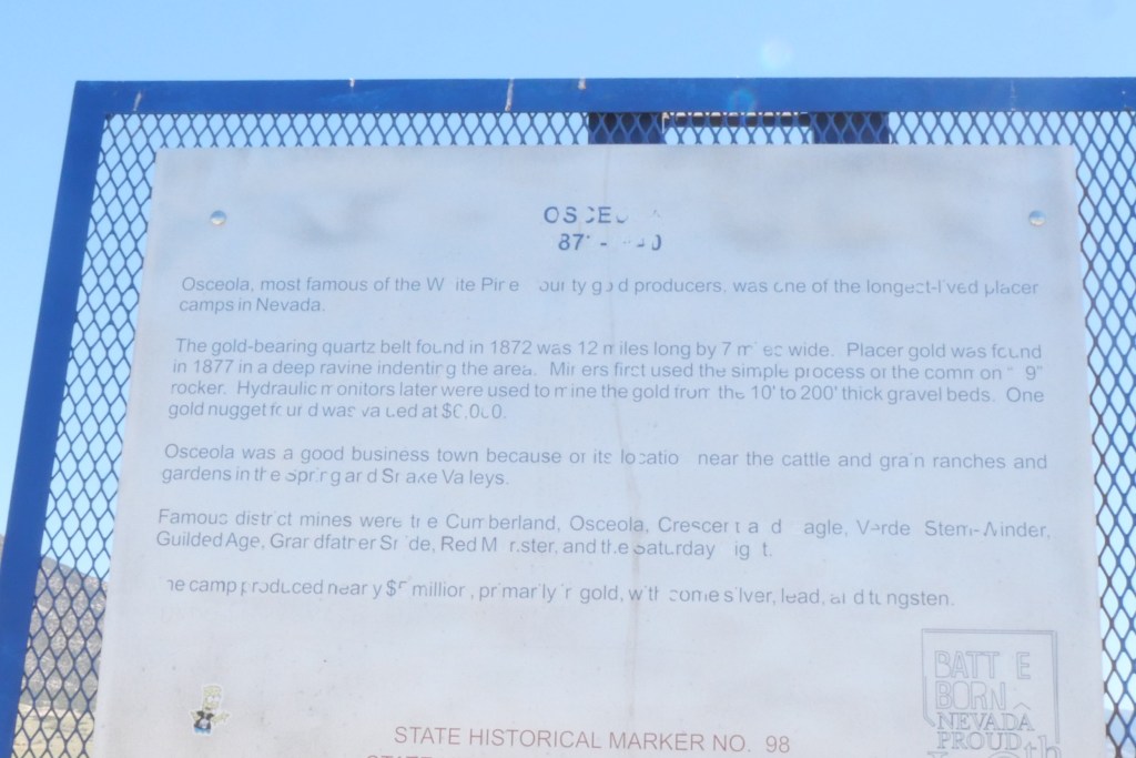
After an untold number of miles down the rough road and not seeing any signs for a ghost town, we turned around and headed back up the highway toward Ely. Success. We came to a sign pointing towards Osceola and a weather-worn historical marker describing the town as the most famous gold mining town in the area.
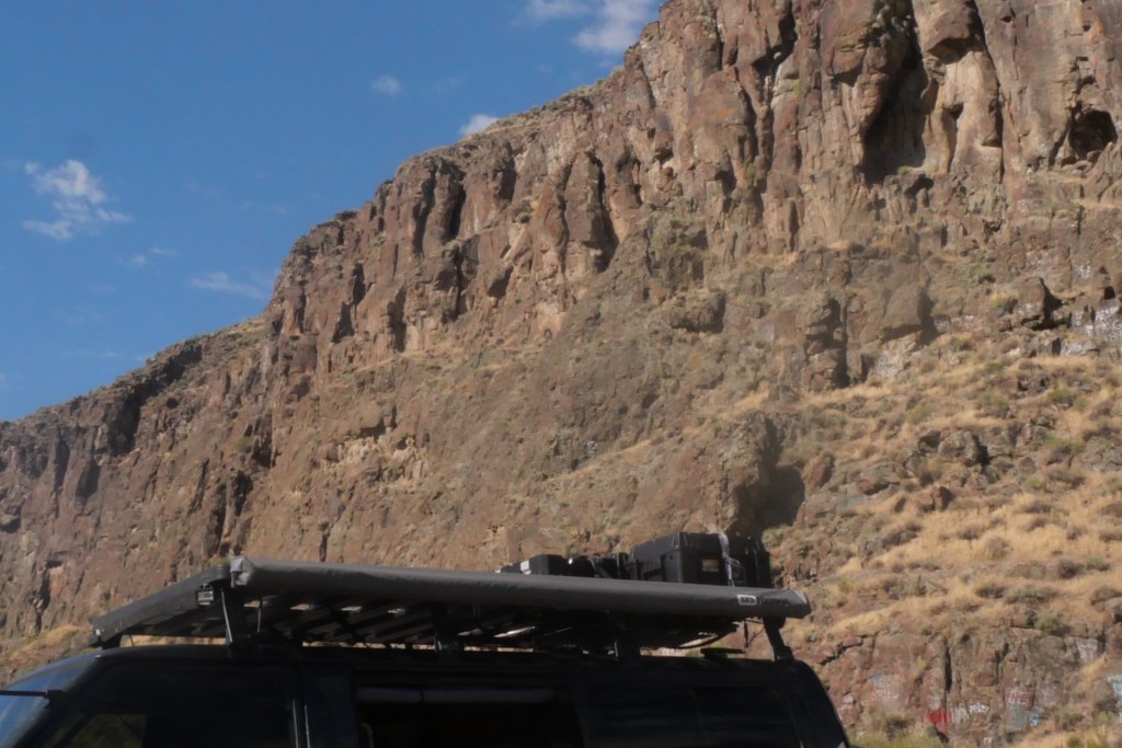
This road was worse than the first and very steep. We had to pull over a couple of times to let the engine cool down. Another nail in the coffin for the Delica as a home for us.
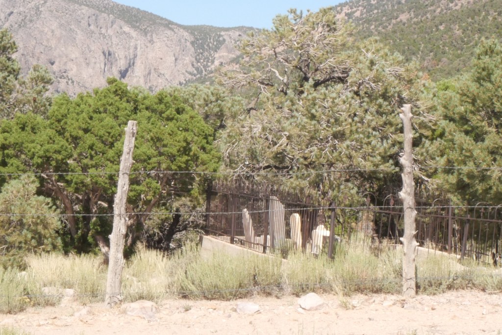
We finally came to an old cemetery with no sign of any kind. We kept going.
Osceola?
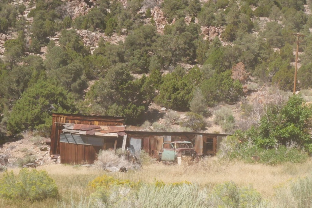
We came to an old shack and truck. This couldn’t be the ghost town of Osceola, could it? After continuing down the dirt road and realizing we were on the same dirt road we originally tried, we arrived at the campground. I confirmed with an online search that the shack and truck were all that was left of Osceola.
Off to find Black Horse Mining Town. We found the road a little ways off the highway. With high hopes, we drove down another rough road until we came to a spot that looked more like a mountain bike trail instead of a road. In fact, all of the forest service signs we saw showed bikes on them. Disappointedly we turned around and headed back to the campground. If it had been earlier in the day or cooler, I may have been up for walking further to see what we could find.
The next morning as we were getting ready to head out, the same woman and her husband from Wheeler Peak Campground pulled in. turns out they had stopped for lunch before heading home. Such a small world we live in.
If you made it to the end, Congratulations! That was one of my longest posts. It just did;t make sense to break it up into separate blog posts to me. I hope you enjoyed reading it.
Until the next time…

Another great adventure,
LikeLiked by 1 person